
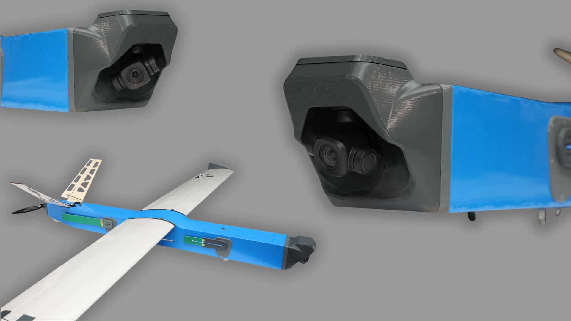

Besomar 3210 FV
Product descripton: Besomar 3210 FV by Besomar
The Besomar 3210 FV is a civilian-oriented fixed-wing UAV developed for aerial photography, mapping, and digital terrain modelling. The platform is designed to support applications including civilian and critical infrastructure monitoring, surveying, and spatial analysis.
The system can cover extended routes while remaining airborne for more than three hours. It is integrated into the Besomar ecosystem with a dedicated ground control station and supports navigation using beacons without relying exclusively on GPS.
Field testing in Ukraine has demonstrated the complete workflow from flight planning and aerial image acquisition through to image processing and orthophoto generation.
Key Features
- Aerial mapping and photography
- Digital terrain modelling
- Infrastructure monitoring and spatial analysis
- Flight endurance of more than 3 hours
- Route coverage of up to 200 km
- Automatic landing
- Catapult launch
- Beacon-based navigation capability
- Integrated ground control station
Technical specifications
| Parameter | Specification |
|---|---|
| Model | Besomar 3210 FV |
| System Type | Fixed-wing Mapping UAV |
| Primary Applications | Aerial photography, mapping, terrain modelling, infrastructure monitoring |
| Take-Off Weight | 9.7 kg |
| Payload Capacity | Up to 1 kg |
| Range | Up to 60 km |
| Maximum Route Length | Up to 200 km |
| Flight Endurance | More than 3 hours |
| Cruise Speed | 80–90 km/h |
| Maximum Speed | Up to 160 km/h |
| Launch Method | Catapult |
| Landing | Automatic |
| Navigation | Beacon-based navigation; GPS-independent capability |
| Ground Control | Dedicated ground control station |
| Mapping Output | Aerial imagery, orthophoto maps, digital terrain models |