


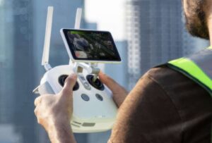


Upgrade your next mapping mission with the Phantom 4 RTK – the most compact and accurate low altitude mapping solution.
Centimeter-Level Positioning System A new RTK module is integrated directly into the Phantom 4 RTK, providing real-time, centimeter-level positioning data for improved absolute accuracy on image metadata.
In addition to optimized flight safety and precise data collection, the Phantom 4 RTK stores satellite observation data to be used for Post Processed Kinematics (PPK), which can be conducted using DJI Cloud PPK Service [2].
| Domain | industrial |
| Applications | mapping, inspection, transport |
| Type | rotary wing |
| Engine type | electric motor |
| Maximum altitude |
7 km |
Ratings and reviews
0
from 5
0 reviews