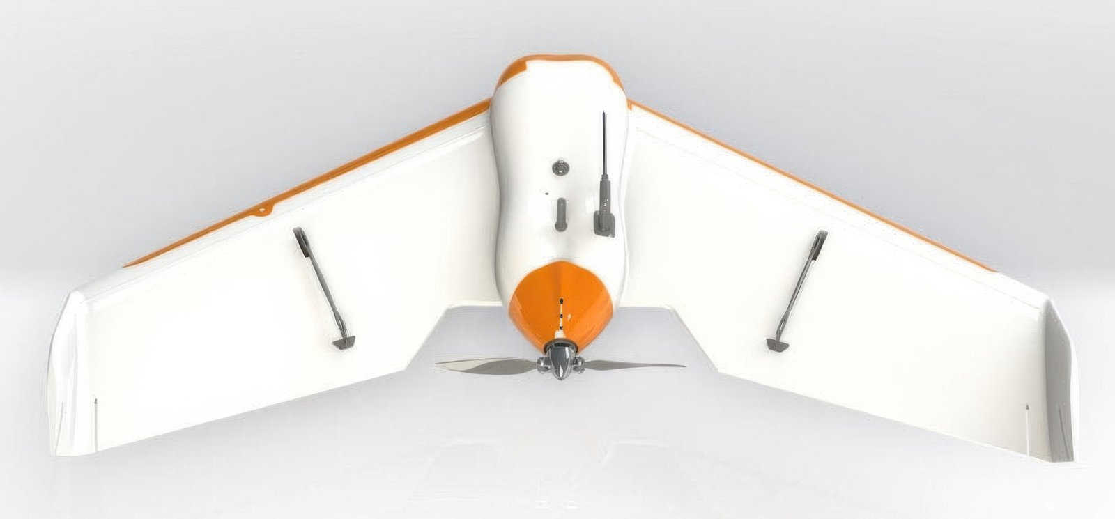


SMALLEST and LIGHTEST professional hand-launched mapping drone Optimize surveying and mapping Boost intelligent digital industry Solutions for intelligent digital industry Accurate remote sensing data link | Smart aerial survey information system | Diverse solutions
| Domain | professional |
| Applications | mapping |
| Type | fixed-wing |
| Maximum load |
200 kg |
| Autonomy |
85 min |
Ratings and reviews
0
from 5
0 reviews