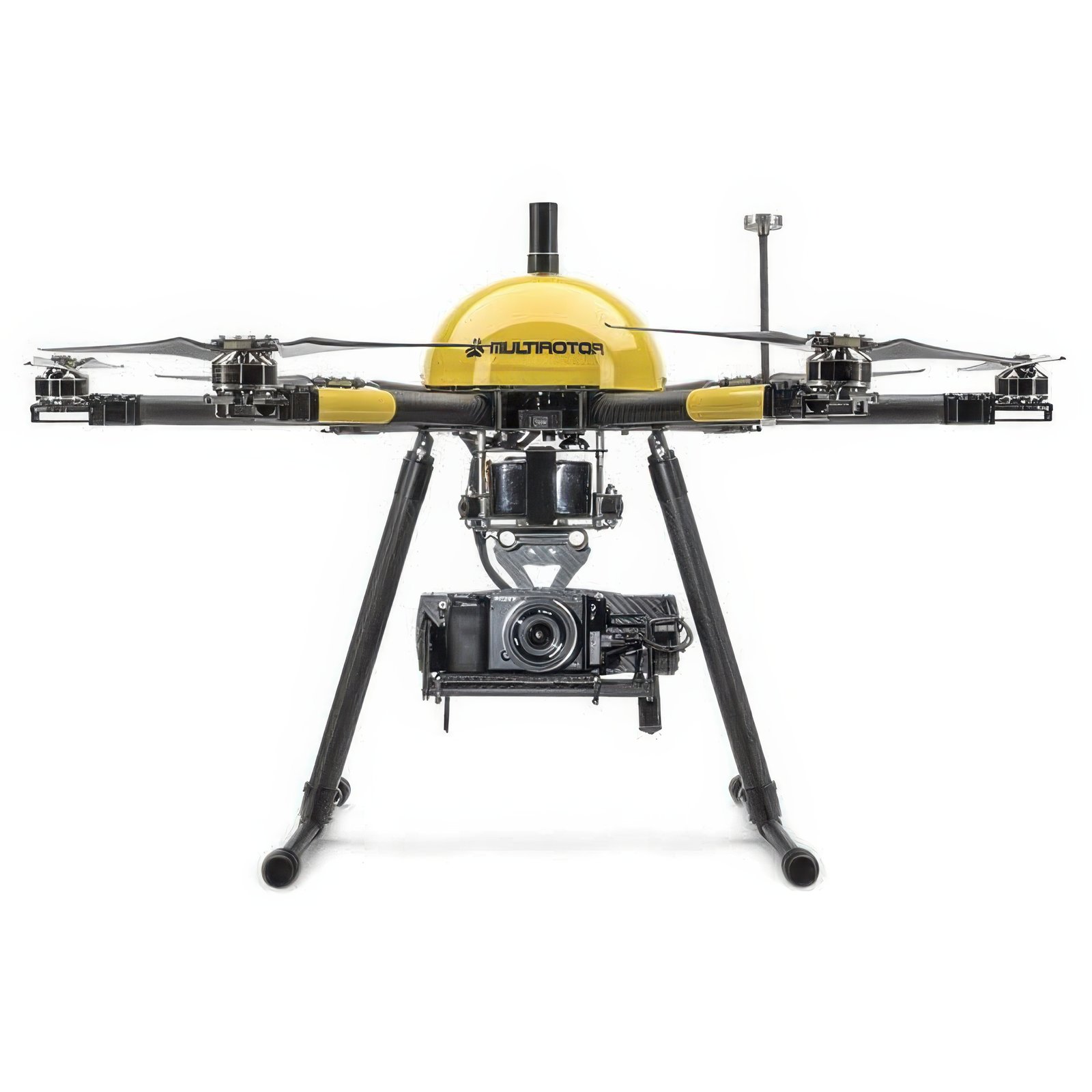
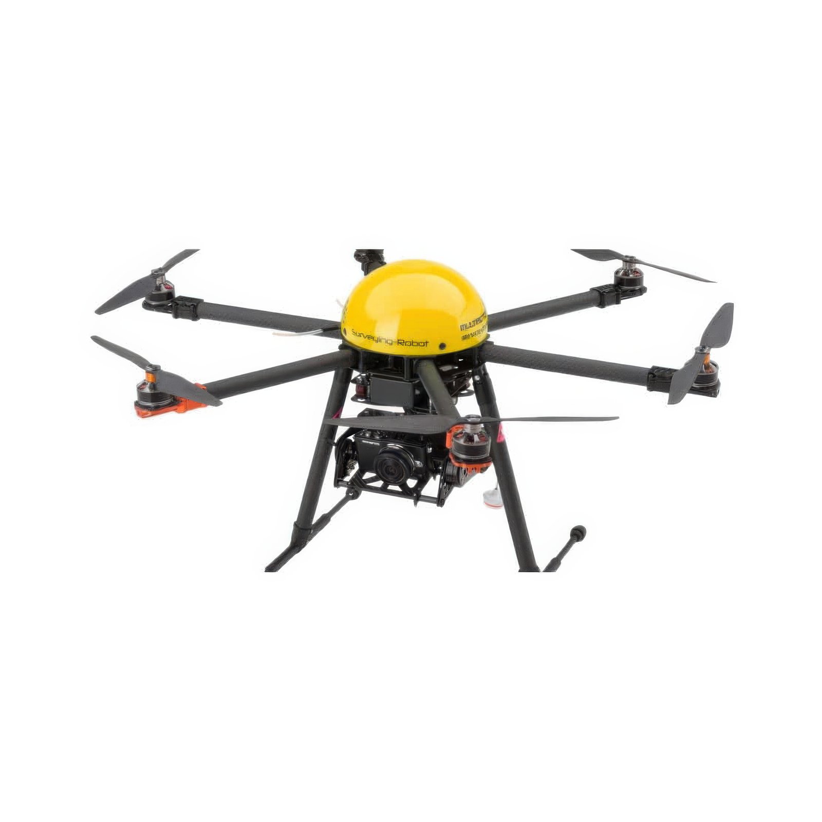
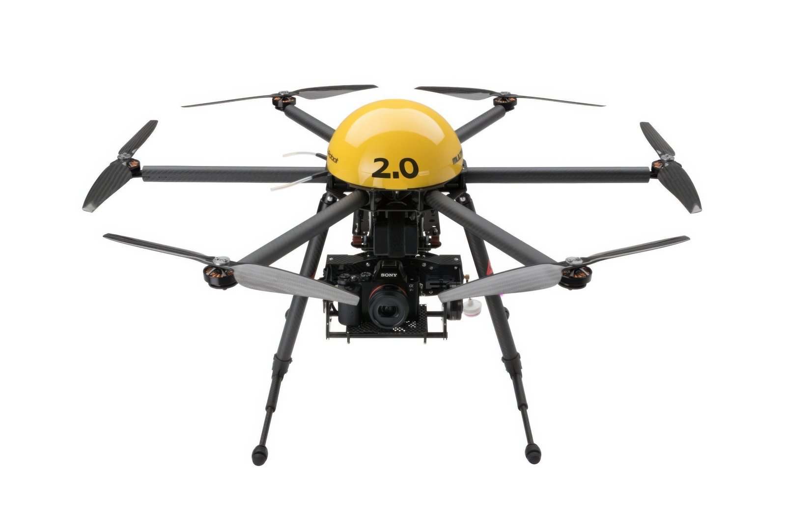
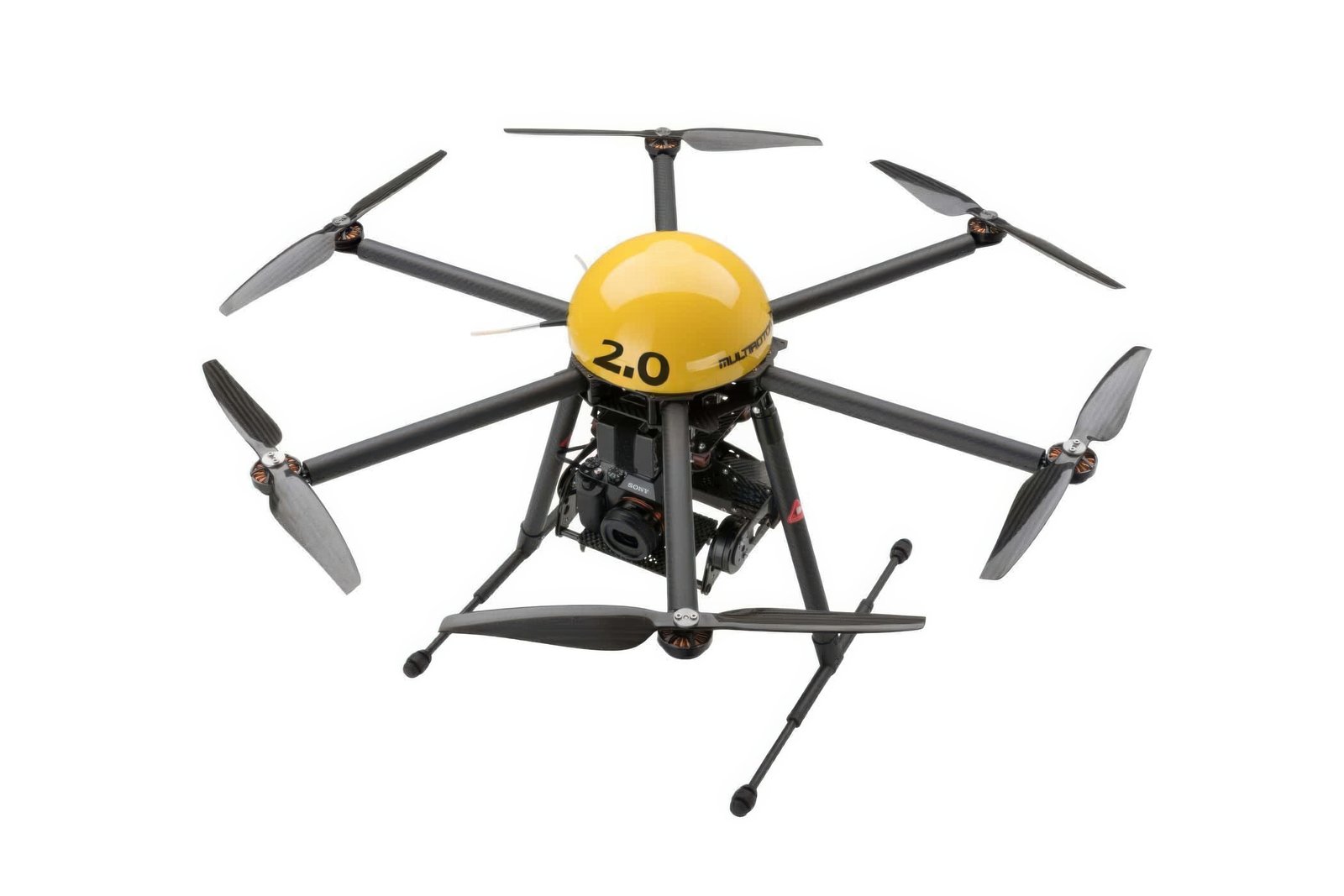

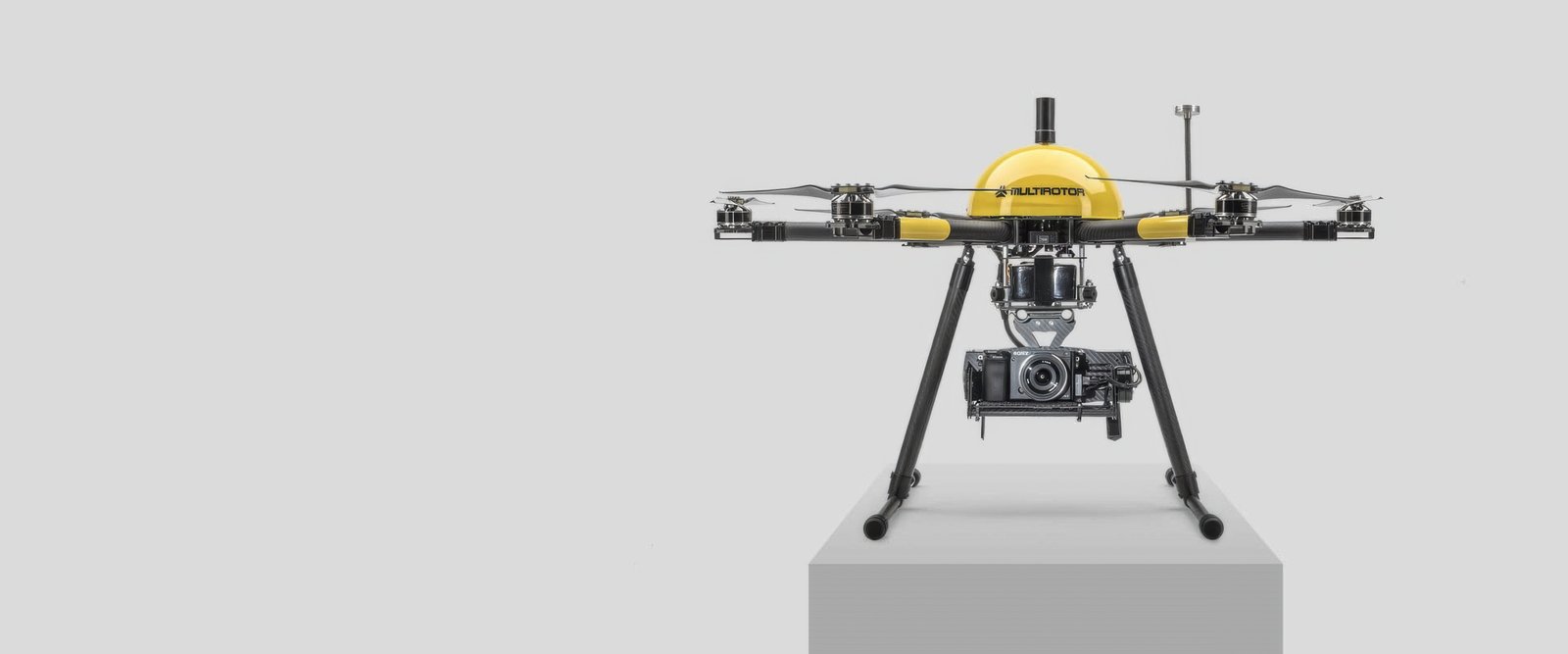
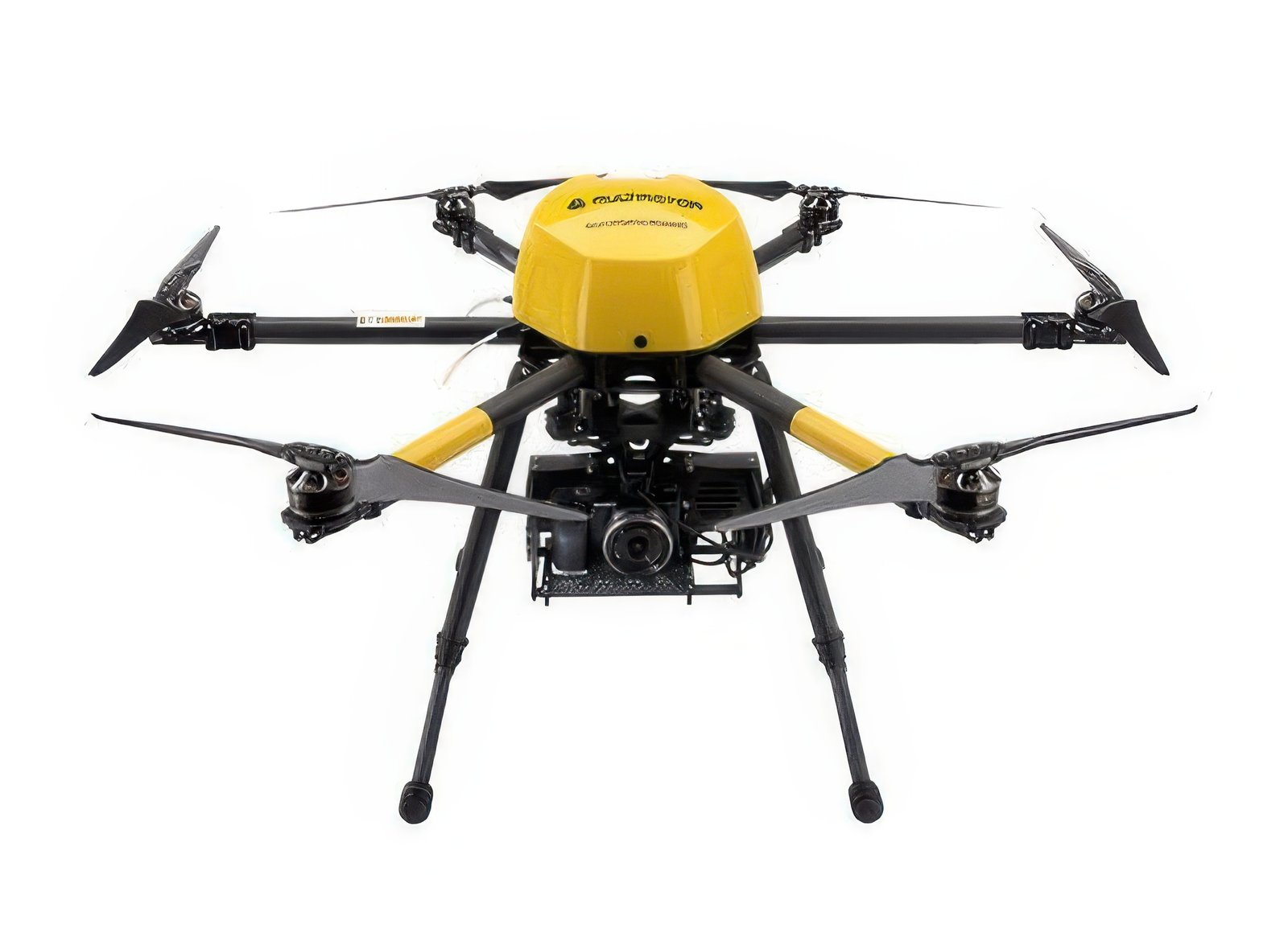
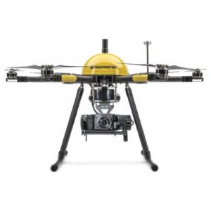
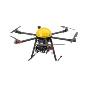
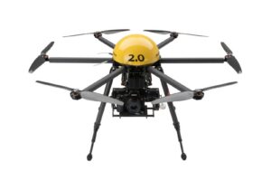
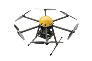

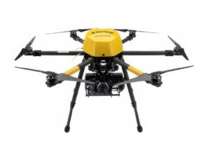

Unmanned Flight system for the creation of geotagged images, high-ground-resolution orthophotos, digital elevation models, point clouds, volume calculations and 3D models.
Set waypoints before or during the flight and depart autonomously Complete including camera system and flight planning software Wind-resistant for wind speeds up to 10 m / sec.
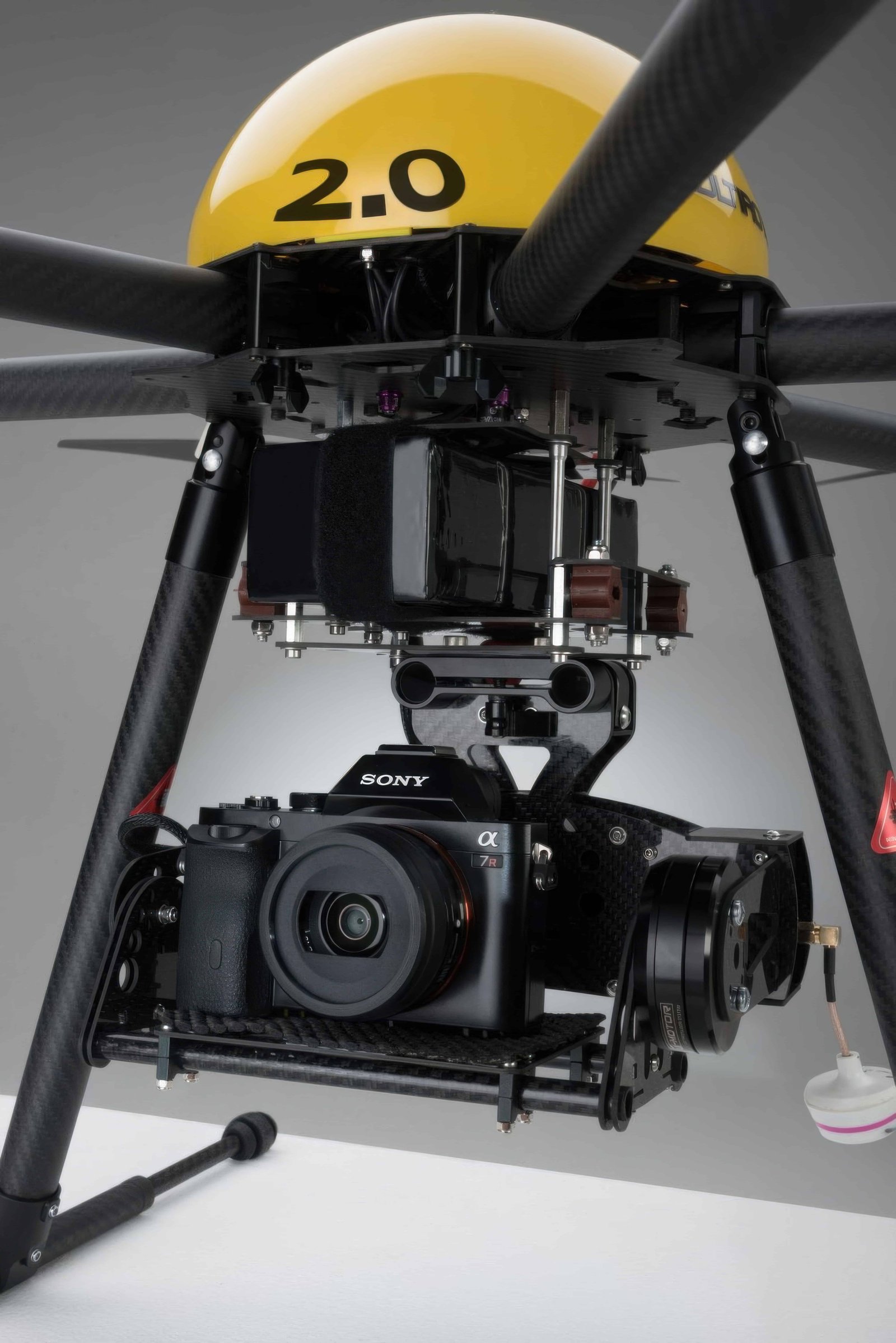
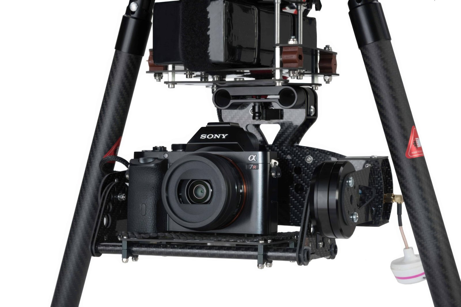
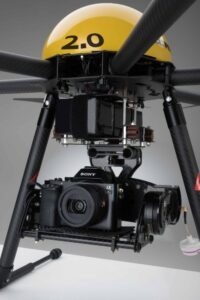
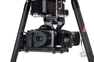
Ultra-compact, foldable carbon design 100% data security through stand-alone concept Easy creation of 3D models and animations MULTIROTOR’s EasyReference High Density Flight Recorder and High-Precision Real-Time Kinematic Receiver (RTK) provide up to 25mm camera position calculation – without the need to use ground control points*.
| Domain | industrial |
| Applications | surveillance, aerial photography, measurement |
| Type | rotary wing |
| Engine type | electric motor |
| Maximum load |
5,000 g |
| Autonomy |
28 min |
Ratings and reviews
0
from 5
0 reviews