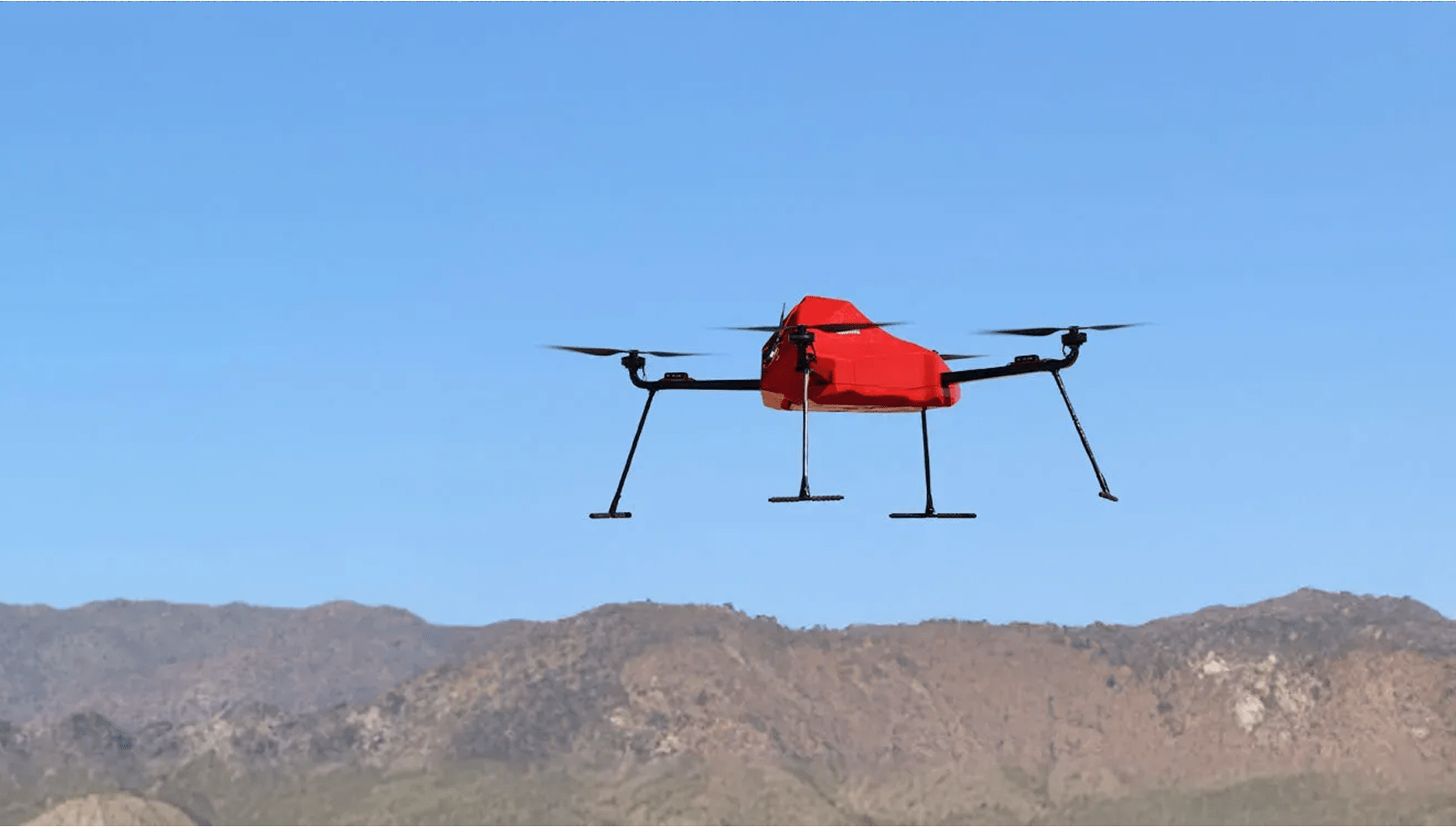
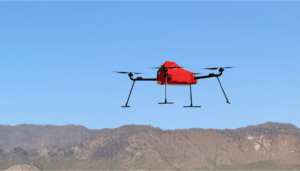
ZenaDrone IQ Quad Drone
VTOL quadcopter that makes accurate surveying faster and easier for commercial and industrial users
Product descripton: ZenaDrone IQ Quad Drone by ZenaTech
Designed for land surveying, the IQ Quad Drone supports 4K cameras, LiDAR, and multispectral and thermal sensors. It delivers clear, detailed aerial data in complex environments.
The platform includes smart safety features like obstacle detection, terrain-following, and 360° awareness cameras to support confident operation. The IQ Quad delivers reliable, survey-grade results with efficient performance.
Technical specifications
The IQ Quad Drone is capable of capturing high-precision, geospatial data for a range of outputs.
- Geo-tagged, orthomosaic maps
- Cadastral/boundary maps
- 3D Digital Elevation Models (DEMs) Digital Terrain Models (DTMs) Digital Surface Models (DSMs)
- High-resolution video and photographs
- Textured 3D mesh models
IQ Quad Drone Key Features
- Stability
Quad Rotor Drone configuration provides excellent stability during flight to capture precise geospatial or topographic data. - Obstacle Avoidance
Real-time GPS enables the IQ Quad to avoid any site obstacles. - Retractable Landing Gear
Improves aerodynamics when retracted and provides unobstructed views for cameras and sensors. - Payload
Possesses 2 to 3 kg payload capacity, ensuring it can meet all survey project requirements. - Folding Arms
Increases use versatility while enhancing portability and simplifying storage. - Endurance
Capable of up to 45 minutes of flight time with maximum operational range of 5 km before recharging is required. - Autonomous Recharging
Automatically lands on a charging station to recharge its batteries. - Durable
Weather resistant, carbon-fiber airframe ensures performance in diverse conditions. - Data Security
Features an integrated, cellular-based transmission system for secure, enterprise-level, real-time data transfer.
Ratings and reviews
0
from 5
0 reviews