


Blog
FCC Closes the U.S. Drone Market to Foreign UAVs — Bavovna’s South Carolina Drone Hub Gains Strategic Momentum
The FCC has added all foreign-made UAVs and UAV components to its Covered List. This effectively closes the U.S. market to imported...
Jan 26, 2026
Solutions
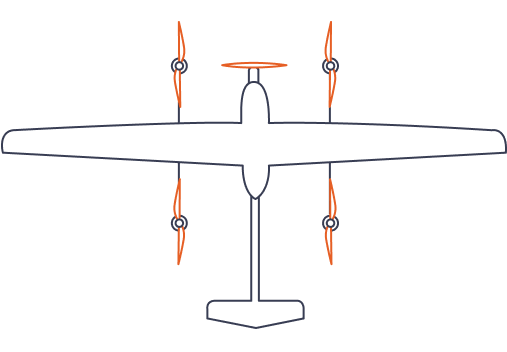
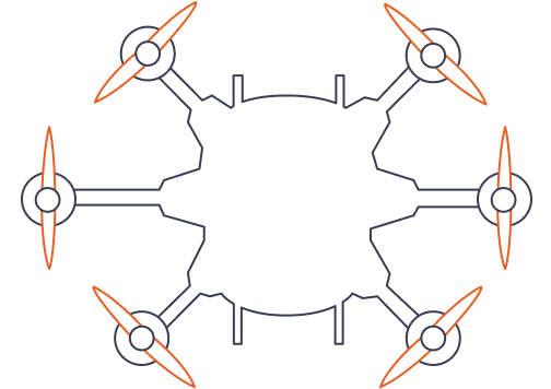
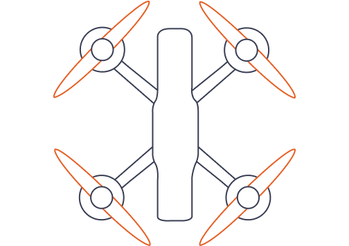
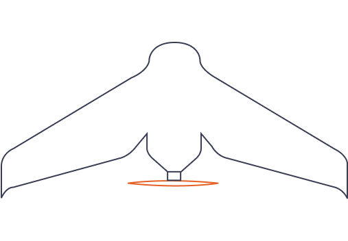
Bavovna AI-Powered Inertial Navigation for UAV: VTOL, Fixedwing, Multirotor, Quad
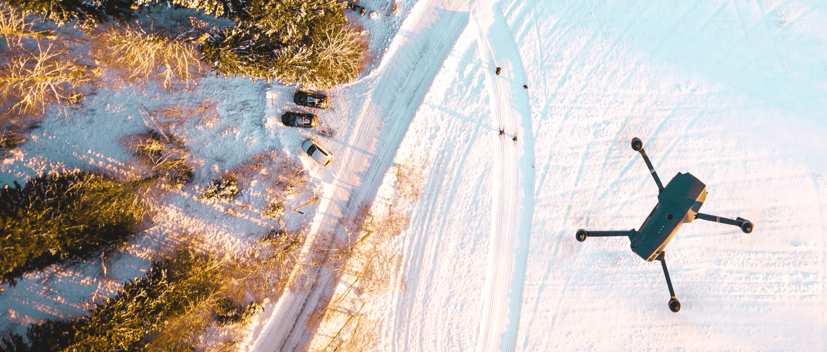
Bavovna is a dual-use AI-driven alternative navigation for Uncrewed Aerial Vehicles operating in GNSS-denied and electronic warfare-threatened environments.
Bavovna combines modular hardware and SaaS AI for aerial, surface, and subsurface UV platforms to address malicious and natural challenges to Position, Navigation, and Timing (PNT) systems.
Trusted by:


Stay in touch Bavovna AI navigation newsletter
Sign up to our digest newsletter and we'll send you a monthly update containing the latest news across the AI navigation industry.
Implementations
Implementation of a Bavovna AI navigation systems for VTOL, Fixed-wing, QuadFPV, Multirotor UAV and more.
Bavovna AI navigation Latest Updates:
At Bavovna AI, we are thrilled to share with you the latest updates and milestones we have achieved. Stay tuned for more on Bavovna AI news.
All blogs

Blog
UMEX 2026 — Bavovna AI Announcement
Bavovna AI is exhibiting at UMEX 2026. We’re excited to announce that Bavovna AI will take part in UMEX 2026 (Unmanned Systems Exhibition) — one of... Jan 19, 2026
Bavovna AI is exhibiting at UMEX 2026. We’re excited to announce that Bavovna AI will take part in UMEX 2026 (Unmanned Systems Exhibition) — one of... Jan 19, 2026

Blog
Bavovna at Battlefield 2027
Maxym Prasolov, CGO at Bavovna AI, will speak at Battlefield 2027 next week in Washington, D.C., held in parallel with AUSA.
... Oct 13, 2025
Maxym Prasolov, CGO at Bavovna AI, will speak at Battlefield 2027 next week in Washington, D.C., held in parallel with AUSA.
... Oct 13, 2025