

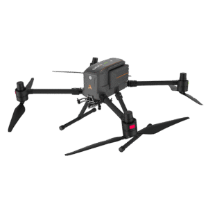


CHCNAV X500
Product descripton: CHCNAV X500 by CHC Navigation
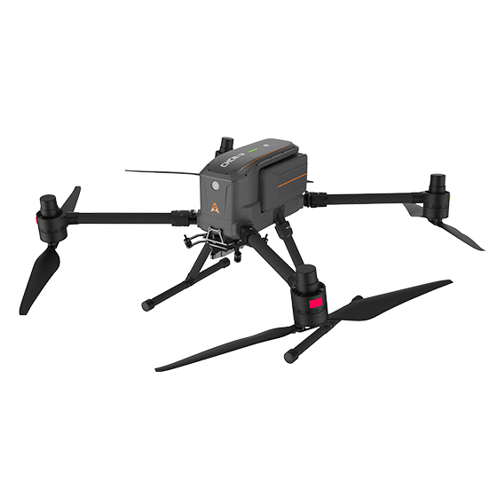
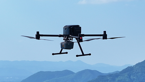
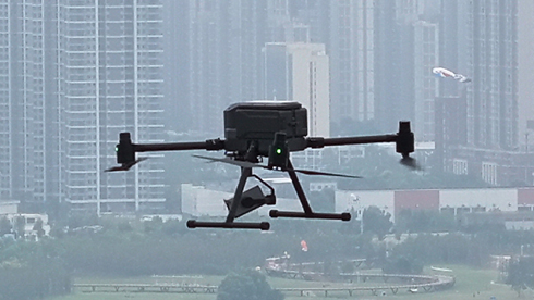
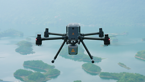
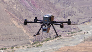
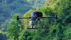
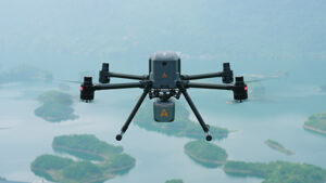
The CHCNAV X500 rotor UAV is a professional drone engineered for exceptional payload capacity and endurance. Equipped with advanced flight controls and high-precision positioning, it delivers superior maneuverability, stability, and flight performance. Its built-in visual SLAM and obstacle detection radar ensure intelligent, safe operations. Compatible with CHCNAV sensors and third-party payloads, the X500 is ideal for applications such as surveying, urban surveillance, emergency scouting, disaster relief, and inspection missions.
Main Features
Reliable Design
-
Adjusts altitude to avoid crashes.
-
Landing even if a propeller malfunctions.
Hot-Swap Batteries
-
Seamless takeoffs and continuous power for multiple flights.
Intelligent Battery Station
-
Functions as a power bank for greater efficiency in the field.
Lightweight and Portable
-
Single-person operation and easy transport.
Benefits and Performances
01 High Performance
-
The X500 supports a 5 kg payload capacity and offers a flight endurance of 58 minutes, or up to 50 minutes with the CHCNAV AA10 LiDAR.
-
IP55 rating and 12 m/s wind resistance enable reliable performance in challenging environments.
02 Optimal Flight Safety
-
Robust redundancy with dual GNSS, triple IMU backups, dual-redundant flight control, and safe return strategies.
-
Millimeter-wave radar ensures precise obstacle detection and avoidance.
-
V-SLAM visual positioning system enables landings on moving vehicles and vessels.
03 Efficient Energy System
-
Paired with the BS10 charging station holding up to six batteries.
-
Fast charging from 20% to 90% in 40 minutes ensures uninterrupted operation.
04 Versatile Payload Options
-
Supports up to 3 concurrent payloads.
-
Compatible with CHCNAV LiDARs and cameras.
-
Open SDK interface enables integration with third-party devices.
05 Long-Range Operation
-
Video transmission system with range up to 20 km.
-
Optimized HD video transmission with minimal latency.
-
1080p HD FPV feed and 10.1″ large-screen remote control.
06 Intelligent Flight Software
-
CHCNAV SmartGo ground control software.
-
Supports rectangular, strip, polygonal, and facade routes.
-
Provides real-time updates on drone status, heading, and obstacles for BVLOS operations.
Use Cases
-
Geospatial Surveying
-
Urban Surveillance
-
Emergency Scouting
-
Disaster Relief
Technical specifications
| Parameter | Value |
|---|---|
| Payload capacity | 5 kg max |
| Flight time | 50 mins with CHCNAV AA10 LiDAR |
| Type | Quadcopter |
| Battery life | Double hot-swap, with charging station |
| Camera | Yes |
| IMU | Yes |
| Obstacle avoidance | Yes |
| V-SLAM | Yes |
| Remote | CHCNAV SmartGo flight control software |