AI GPS/INS Integration: The Path Forward to Better Navigation
GPS and INS are core components of global navigation systems, but both have inherent limitations. GPS is prone to signal blockage and jamming, as well as reflection on buildings and terrains, leading to signal distortion and poor position estimation. Signal accuracy also degrades at high speeds and rapid directional changes, making it less reliable for ultra-fast UAVs.
INS sensors are prone to drift due to poor initial calibration or sensor noise caused by mechanical vibration, temperature variations, cross-axis sensitivity, and wear. They also require periodic recalibration, especially for high-precision positioning.
Different machine learning and deep learning methods can improve GPS/INS signal reliability and quality—and, in some cases, even fully replace it.
The new era of Inertial navigation and AI GPS systems
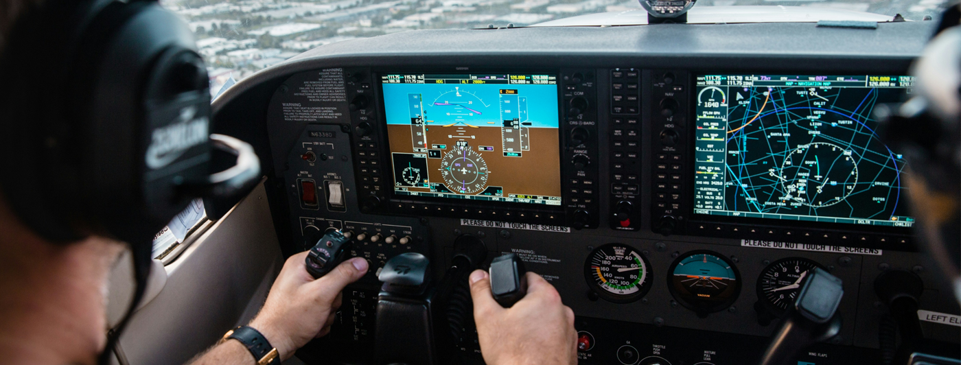
Artificial neural networks have already demonstrated strong results in real-time object recognition and signal processing in the automotive and manufacturing sectors. AI GPS in navigation systems are the next frontier.

Researchers tested different deep learning algorithms to optimize inertial sensing and sensor fusion tasks for land, aerial, and maritime vehicles. One group developed visual-inertial odometry (VIO), an integrated inertial and image sensor fusion technique based on deep learning to predict the UAS’s position with 0.167 Mean Square Error (RMSE).
Another group successfully used a convolutional neural network (CNN) to analyze noise information from the inertial measurement units using the Kalman filter, which improves the position and orientation estimation of the navigation system. Validation on real data from an autonomous underwater vehicle showed a 35.4% higher position accuracy than conventional methods.
AI GPS effectively compensates for individual sensor limitations by enabling rapid data processing from auxiliary sources. By leveraging an array of sensors and integrating AI algorithms, the vehicle can autonomously recalibrate, correct positional data, and operate smoothly in signal-compromised environments.
Advantages of AI-assisted navigation:
- Higher situational awareness and adaptability
- Reduced dependence on satellite infrastructure
- Lower vulnerability to signal jamming
- Better performance on complex terrain
- Smarter collision detection and prevention
- Improved coordination for drone swarms
Real-world applications of AI sensor fusion for navigation
At Bavovna, we’ve been developing a new AI-powered PNT navigation system to enhance existing inertial navigation systems of UAVs. By using AI for sensor fusion, Bavovna’s algorithms can safely pilot vehicles at high speeds and complex trajectories, even in GPS-compromised environments.
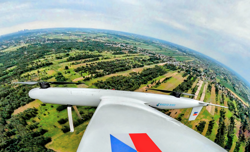
During a recent test, we successfully piloted a Radiobird Defender 001, a multi-weather VTOL, through its 30-km flying mission with an end-point positioning error of 0.42-0.63% on average.
Sensor fusion from the onboard IMU array and airspeed provided navigation. We use sensors like a compass and barometer, with analysis performed on the edge using Bavovna AI Navigation Kit. We use a proprietary Kalman filtration algorithm and fine-tuned sensor fusion neural network trained on 100 hours of fight logs minimum.
SWaP efficient, the hardware kit is enclosed in a protective enclosure to minimize environmental and electromagnetic warfare impacts. The core electronics are also hardened with an EMI composite shield (-92 dBA/mm).
AI GPS algorithms and sensor fusion provide a higher level of accuracy comparable to conventional GPS and GNSS, but with greater reliability and resilience. This results in more efficient drone operations due to enhanced autonomy, obstacle avoidance, and route optimization, even in GPS-denied environments.