When You Can Skip Ground Control Points (and When You Shouldn’t)
For decades, Ground Control Points (GCPs) — high-precision coordinates scattered across fields, rooftops, and construction sites — have been the pillars of precision UAV mapping, anchoring the eye in the sky to the ground below.
But the drone world is changing fast. Autonomous navigation systems, RTK and PPK technologies, and AI-driven inertial tools make more and more pilots questions if they need those markers anymore.
It’s a tempting prospect. After all, who wouldn’t want to skip the tedium of deploying GCPs under a beating sun or in a snowstorm? But the truth is nuanced. There are cases when you can leave Ground Control Points behind—and cases when doing so would be a major blunder.
Why We Need Ground Control Points for Drone Photogrammetry
Ground Control Points are physical markers with known geographic coordinates, placed with surgical precision across a landscape before a drone ever leaves the ground. Their purpose is to act as hard truths in a world of educated guesses.
When a drone captures images for an aerial survey, what it collects are beautiful guesses: overlapping photos stitched together by photogrammetry software into a 3D model or map. But without GCPs, these models lack real-world accuracy. GCPs effectively tell your modeling software: “This exact point here is not just somewhere—it’s here, at these coordinates.”

In simpler terms, drone ground control points:
- Reduce satellite-based positioning errors from several meters down to centimeter-level precision, even within RTK or PPK operations
- Deliver both pinpoint global coordinates and consistent internal alignment across the dataset.
- Compensates for signal interference and hardware drift that typically undermine standalone UAV GPS reliability.
For instance, a 2023 study demonstrated that PPK+GCP UAV workflows reduced horizontal errors from 12 cm (PPK-only) to 2 cm. It also found that in large-scale mapping projects (50+ hectares), GCPs helped preserve consistency across PPK-corrected datasets where satellite corrections degrade due to the distance from base stations.
When You Can (Safely) Skip Ground Control Points
Drone Ground Control Points are essential in many use cases, but they’re not indispensable. In fact, with the right technology and mission profile, you can leave them behind without sacrificing reliability.
Ground control points can often be omitted for:
- Missions where only relative accuracy is required, such as construction monitoring or volumetric comparisons over time.
- Projects conducted within a pre-surveyed area, where a local coordinate system or archival GCPs already provide spatial references.
- Tactical missions focused on stability and real-time data relay, including ISR, communications bridging, or border security.
- Operations in high-risk or inaccessible environments, where placing physical markers isn’t feasible—combat zones, disaster response sites, offshore platforms.
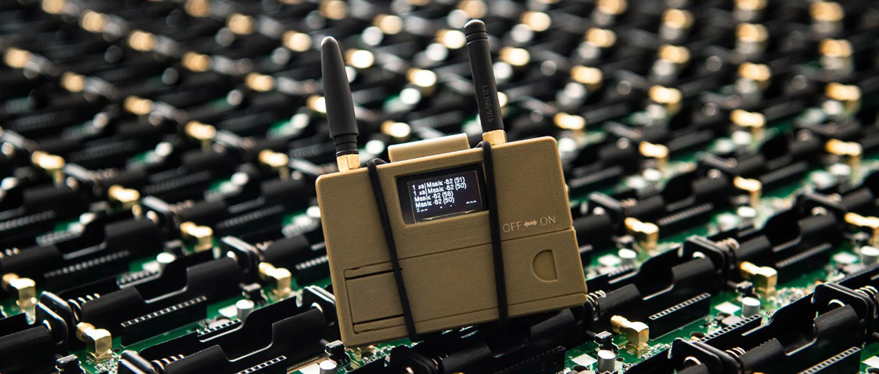
- Deployments with AI-enhanced inertial navigation systems, like Bavovna’s H-INS, which maintain precise positioning even in GPS-denied conditions.
When You Still Need Ground Control Points
For all the advances in autonomous drone navigation, there are still times when nothing substitutes for boots on the ground and the GCP markers they place.
GCPs are still essential in cases such as:
- Legal surveys and cadastral mapping, where property boundaries must meet strict accuracy standards that can hold up in court.
- Infrastructure inspections requiring sub-centimeter precision, such as bridge assessments, pipeline monitoring, or structural deformation tracking.
- Aerial mapping for commercial real estate or construction, where errors in elevation or boundary lines can lead to costly design revisions or disputes.
- Work conducted in areas with strong electromagnetic interference or weak GNSS signals, such as urban canyons, power stations, or dense forest canopies.
- Projects with regulatory oversight or evidentiary requirements, including environmental assessments, insurance claims, and forensic reconstructions.
The Middle Ground: Fewer GCPs + Hybrid AI INS
Seasoned pilots are opting for a hybrid approach that blends the reliability of ground control points with the agility of modern drone navigation systems.
Instead of laying down a dozen or more GCPs across a site, many professionals now deploy just three to five. A 2025 comparative study found that using five well-distributed ground control points in UAV photogrammetry reduced horizontal and vertical RMSE to 2.5 cm and 3.0 cm, respectively.
In other words, GCPs now act more like checkpoints than control: reference points used to verify and fine-tune rather than anchor every frame. And AI-enhanced inertial navigation systems, like Bavovna’s AI navigation kit, take it from there. Trained on chaotic flight data and refined through sensor fusion, our system can use sparse inputs to self-correct and adapt in real-time. The payoff is sub-meter precision, minus the marker-laying marathon.


