AirTower Mode: Bringing UAV Autonomy To New Heights
GNSS signals are inherently weak and susceptible to interference. Highrise buildings, industrial machinery, and high-voltage powerlines, not to mention intentional signal jamming, frequently meddle with UAV navigation.
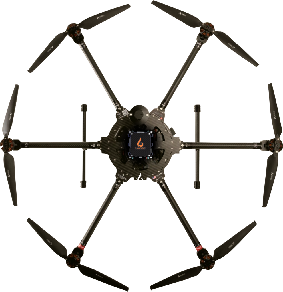
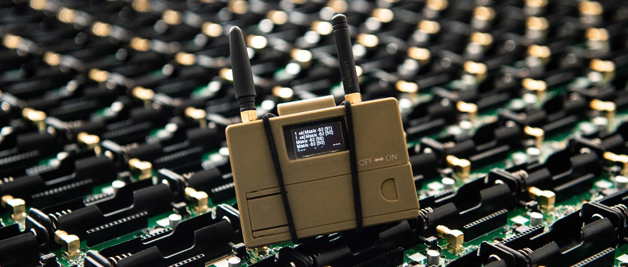
At Bavovna, we’re building customizable AI navigation kits, combining rugged, low-energy onboard hardware and custom navigation models for fully autonomous flight in GPS-denied and EW-threatened areas.
Our latest release is AirTower mode, ensuring fully autonomous vertical climb, stable hover, and controlled landing in signal-restricted areas.
Introducing AirTower Mode
AI AirTower flight mode enables a UAV to autonomously ascend to the set height, hover, and return to a designated landing point without GNSS or maps. The endpoint positioning error during field tests was about 0.5%. The system also supports autonomous take-off, landing, and return to home with a single point positioning ±1m latitude.

In the default implementation, the model uses data from the accelerometer, gyroscope, compass sensors, barometric pressure, and multi-vector airflow. We can also integrate data from ultrasonic, infrared, optical flow sensors, or computer vision systems.
The latter is optional. Compared to computer vision, H-INS is less dependent on environmental features, not susceptible to motion blur, and consumes less power. Field tests showed that sensor data fusion suffices for most navigation scenarios.
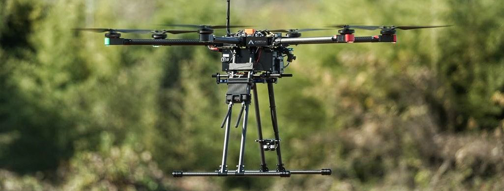
AirTower mode was originally developed and tested on Aurelia X6 Max Pro-D, one of the best enterprise drones in its category. It can also be adapted to a wide range of other UAV and ROV models.
Each AI algorithm is fine-tuned using live data from the drone, making the system universally applicable for VTOL, multi-rotor, or fixed-wing drones. At 800 grams (1.7 pounds) and low SWAP (peak consumption of <12A), our system is compatible with lightweight quadcopters with limited payload capacity. AI AirTower mode is useful for tethered drone operators seeking fully autonomous operations in any condition.
AI AirTower Mode Use Cases
It’s easier to visualize the benefits of any technology in a real-world context. Here are four operating scenarios in which Bavonva’s AirTower mode adds the most value.
ISR missions
Maintaining a controlled vertical climb and stable hover is essential for various intelligence, surveillance, and reconnaissance (ISR) missions.
Our first use case was border security. EMI-protected UAVs can provide a vantage point for detecting illegal crossings or suspicious activity, replacing laborious foot or vehicle patrols. Port authorities and coastal guards can also benefit from our navigation system, which maintains high accuracy even in areas without distinctive landmarks like water reservoirs or sand dunes.
EMI-shielding allows Bavovna-enabled UAVs to safely operate in hospital environments for terrain resonances or FOB defense scenarios. For example, a UAV can periodically ascend to monitor threats and auto-land in a hidden, designated spot to minimize detection. Our system is fully payload agnostic. It can be easily integrated with a radio repeater and various transmitters. For example, SIGINT RF module for proactive reconnaissance of EM threats and autonomous bypass of EW/EM obstacles for extra safety. Or even a portable, counter-UAS EW system.
Radio Relaying
Drones offer benefits like rapid network deployment, extensive coverage, and real-time data collection. Combined with a tethered or large-battery drone, Bavovna’s systems can aid in establishing communication relays in remote, rugged, hospital, or disaster-affected locations.
Full autonomy in GPS-denied environments means you can deploy drones in mountainous, forested, or dense urban areas without signal interference. The autonomous drone can help (re-)establish communication links between dispersed personnel and the command center for better coordination for rescue, supply, and tactical operations. After the mission, it can land at a designated spot for easy retrieval.
Emergency Response
The main challenge of disaster management operations is achieving the fastest response, especially for rescue efforts where every second counts. Bavovna’s AirTower autonomy mode allows deploying drones almost immediately in affected areas to get a good aerial view and provide ongoing situational awareness to first responders.
One scenario we had in mind is wildfire detection. Dense forestry is challenging to operate in and remoteness means poor signaling. Bavovna-equipped rescue drones can transmit exact site coordinates to ground teams for investigation. In Turkey alone, drones have helped successfully detect over 2,000 wildfires last year.
Site and Asset Inspection
Specialized inspection drones are also becoming a staple in asset management programs. Aramco uses VTOL drones to survey miles of pipelines, spread over large desert areas. South Korean SK Telecom deploys quadcopters to detect loose bolts and nuts on antennas. Mining companies use drones to automate terrain data collection for better stockpile management.
In all of these cases, reliable connectivity is crucial, but not always readily available. High-voltage powerlines generate strong electromagnetic fields, that can interfere with the GPS receiver. High EMI, generated by telecom towers, also leads to signal delays or loss of, especially if the drone is flying close to the asset. Bavovna’s solution helps effectively overcome all of these challenges.
Fly Autonomous Missions Without Signal Loss
When GPS is reliable, all goes well. When it’s not — the flight outcome is uncertain. With Bavovna’s H-INS system, you can take mission security out of luck’s hands and into your control.
Easily activated from the Bavovna Mission Planner, AI AirTower mode navigates you through GPS-denied and EW-threatened areas reliably. Compared to alternatives, our system provides up to 98% higher positioning, navigation, and timing (PNT) accuracy at a range of up to 30 km / 18.6 miles. Get in touch to learn more about all features.


