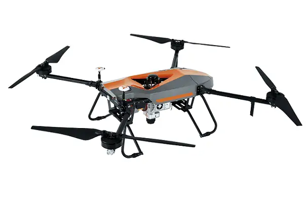

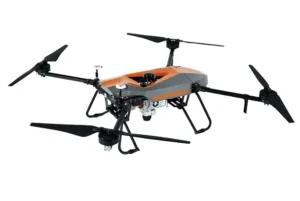


BB4 – LiDAR Mapping Drone
Product descripton: BB4 – LiDAR Mapping Drone by CHC Navigation
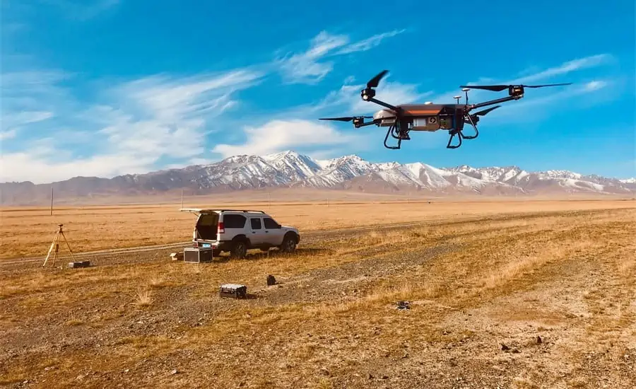
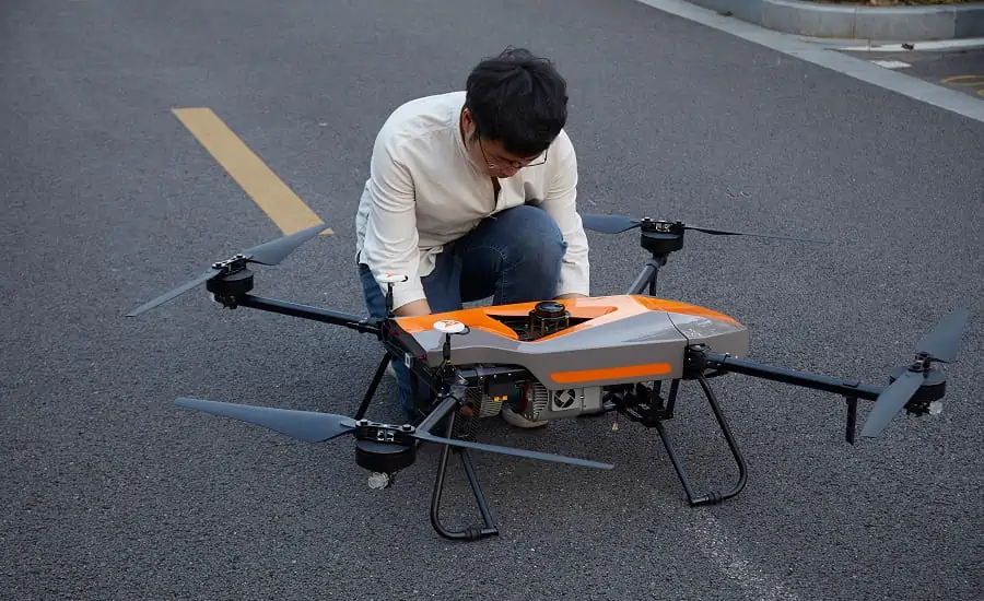
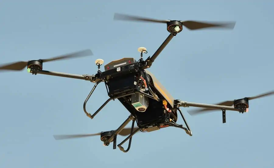
The BB4 UAV is a cutting-edge unmanned aircraft system designed specifically for professional industrial applications. Its modular architecture, including pre-installed arms and antennas, enables rapid deployment, allowing the platform to be ready for flight in just 2 minutes.
High-Capacity Payload
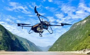
With the ability to carry up to 7 kg, the BB4 supports a wide range of payloads including CHCNAV LiDAR scanners, DSLR cameras, oblique photogrammetry systems, and multispectral cameras. This flexibility ensures that users can perform diverse geospatial, mapping, and surveying tasks efficiently.
Survey-Grade Accuracy
Equipped with dual DJI A3 IMUs and advanced GNSS units, combined with CHCNAV’s high-end positioning technology, the BB4 delivers exceptional precision: 1 cm + 1 ppm RTK accuracy. This makes it ideal for high-accuracy surveying, mapping, and industrial measurement applications.
Intelligent and Simplified Flight
The BB4 integrates seamlessly with the DJI Ground Station Pro (GS Pro) software, allowing automated mission planning, cloud-based flight data management, and collaborative project workflows. These intelligent features streamline operations, reduce human error, and improve productivity in professional fieldwork.
Professional Alliance
The BB4 UAV is the result of a strategic collaboration between CHCNAV, a global leader in geospatial measurement solutions, and DJI, the pioneer in commercial UAV technology. The combination of scientific drone design, advanced production technology, and automated flight control ensures a reliable, precise, and highly efficient platform for industrial applications.
Technical specifications
| Parameter | Value |
|---|---|
| Max payload | 7.1 kg |
| Flight Control Software | DJI Ground Station Pro (GS Pro) |
| Dimensions | 110.0 x 110.0 x 44.0 cm (43.3″ x 43.3″ x 17.32″) |
| Hovering Accuracy | 1 cm + 1 ppm horizontal, 2 cm + 1 ppm vertical |
| IMU | Dual DJI A3 IMUs |
| Maximum Altitude | 5000 m |
| Empty Weight | 20.9 kg (including 9.7 kg batteries) |
| Supported Payloads | LiDAR scanners, DSLR cameras, oblique cameras, multispectral cameras |
| RTK Accuracy | 1 cm + 1 ppm |
| Maximum Speed | 14 m/s |
| Flight Preparation Time | 2 minutes |
| Application | Surveying, mapping, photogrammetry, industrial inspection |
| Modular Design | Pre-installed arms and antennas for rapid deployment |