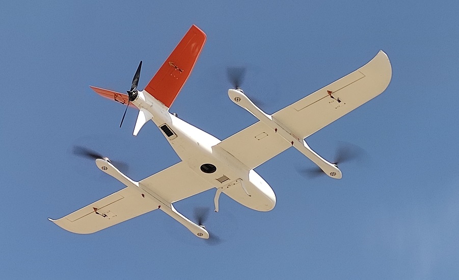
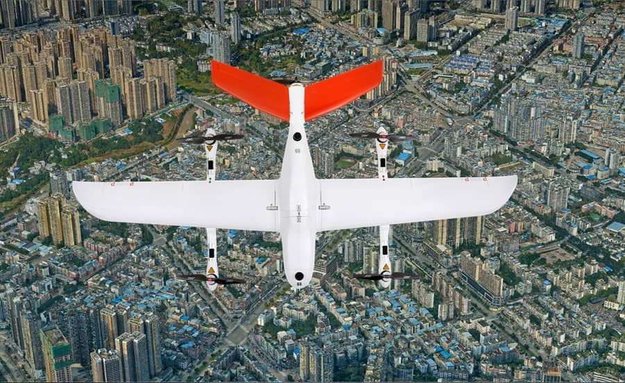
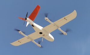

P330 Pro VTOL UAV
Product descripton: P330 Pro VTOL UAV by CHC Navigation
The P330 Pro VTOL UAV is a professional-grade drone designed for photogrammetry and urban planning applications. It enables efficient surveying and mapping over large areas with high precision, providing accurate geospatial data for sustainable city development. By combining long endurance, RTK GNSS positioning, and advanced imaging technologies, the P330 Pro significantly reduces fieldwork time and labor costs while delivering superior results compared to traditional surveying methods.
This drone supports high-resolution 2D and 3D mapping outputs, including Digital Orthophoto Maps (DOM), Digital Surface Models (DSM), Digital Line Graphs (DLG), 3D photogrammetric models, and topographic contour lines, making it an indispensable tool for urban planners, civil engineers, and mapping professionals.
Key advantages include long flight endurance (up to 150 min), centimeter-level positional accuracy, high operational safety, and automated flight planning, ensuring reliable data collection and rapid return on investment.
Technical specifications
| Parameter | Value |
|---|---|
| Maximum Flight Time | 150 minutes |
| Coverage Area | Up to 9 km² at 3 cm/pixel resolution, 70% overlap |
| Ground Sampling Distance (GSD) | 3 cm/pixel |
| Forward Overlap | 80% |
| Side Overlap | 70% |
| Mapping Scale | 1:2000 |
| Horizontal Accuracy | 6 cm |
| Vertical Accuracy | 10 cm |
| Payload | Camera and photogrammetry sensors |
| Flight Mode | VTOL (Vertical Take-Off and Landing) |
| Safety Features | Automated takeoff/landing, self-checks, obstacle monitoring |
| 2D/3D Outputs | DOM, DSM, DLG, 3D photogrammetric models, contour lines |
| Recommended Use | Urban planning, surveying, mapping, civil engineering, infrastructure monitoring |