Aerial Autonomous Navigation Systems: The Path Forward
Aircraft autopilot systems have been around since the early 20th century. Modern autopilot systems effectively support pilots at every phase of the flight, enabling greater safety, efficiency, and comfort. Unmanned aerial vehicles (UAVs) have even more advanced navigation and safety systems.
But how technologically far are we from achieving full autonomy? Given the latest advances in sensor fusion, computer vision, deep and reinforcement learning, reliable autonomous navigation systems will become a reality once we resolve the last cluster of challenges.
5 Challenges of Creating Autonomous Navigation Systems for UAVs
Autonomous UAVs have many great use cases — from urban package delivery to automated industrial asset inspections, border patrols, or land surveying missions. What prevents the technology from going mainstream is the reliability requirements. Autonomous navigation systems must be ultra-safe with minimal possibility of error. To make that happen, industry leaders are working on solving the next five problems.
Dynamic Environmental Awareness
UAVs need continuous spatial awareness about flight conditions and obstacles to operate autonomously without posing risks to people and infrastructure. Modern drones already include advanced sensing capabilities, ranging from HD cameras to LiDAR and optical flow sensors. Computer vision and navigation algorithms can process all of these data points on-device to provide real-time environmental awareness to drones for autonomous operations.
The Fly4Future team recently presented INEEGO — an indoor inspection drone with an autonomous navigation system. The drone can effectively glide through the premises using only a partially known map and adjust its path based on the data from onboard sensors to avoid obstacles. With INEEGO, pilots can seamlessly inspect AC pipelines, carrier beams, and other industrial structures for signs of deterioration with little risk of collision.
GPS Denied Environments
GPS has long been a bottleneck in UAV reliability. If the signal is down or unreliable (which happens often in dense urban areas), the drone loses all positioning navigation. Drone signals can also be jammed or spoofed, further affecting the safety of autonomous flights.
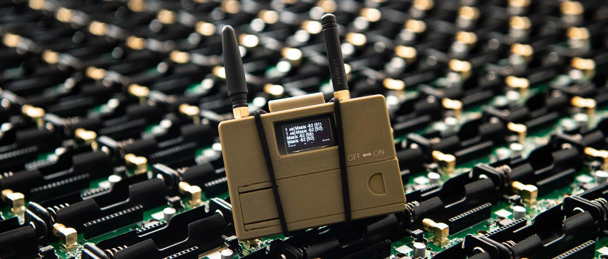
Soundly, there are alternatives to GNSS connectivity. US manufacturer Bavovna developed a hybrid AI navigation system for operating in GPS-denied/compromised environments. The company’s flagship product is a SWAP, low-cost, modular solution, combining an onboard hardware processing unit and pre-trained AI algorithms to provide precise Position, Navigation, and Timing (PNT), crucial for autonomous operations. With Bavovna’s aerial autonomous navigation systems, UAVs can fly fully autonomous complex missions, relying exclusively on onboard sensors like IMU array (accelerometer, gyroscope), airflow sensor, compass, and barometer, among others.
Battery Management
Drones have limited battery capacity. If an autonomous UAV runs out of charge mid-route and fails to safely land, that’s no good. So, researchers are evaluating different options for improving drone battery management.
NTIS Research Centre, for example, created an experimental mechatronic system for automatic drone battery management. Droneport can autonomously swap batteries on UAVs without any human intervention. Compact and easily assembled, the Droneport robo-arm can perform scheduled battery swapping tasks on drones, equipped with a specialized battery holding case with high accuracy.
Self-charging drones are another actively explored option. Drones4Safety technology, developed in Denmark, allows charging UAVs using railway and power line cables. When a drone reaches a low battery status, an autonomous navigation systems navigates it toward the nearest overhead line for charging, using data from GNSS and EGNOS. On-board sensors also provide extra detection and navigation towards the nearest power lines. Several field trials have already proven the viability of such an approach. However, the team still needs to work on the systems’ accuracy to avoid potential damage to the power lines.
Autonomous Take-Off and Landing
Present-day drones require a pilot to facilitate take-off and landing. In autonomous operations, drones will have to auto-locate suitable landing sites and ensure that no obstacles or humans are in the way of a safe takeoff/landing. Again, this problem requires improvements to current navigation capabilities and some upgrades to hardware design.
Evolve Dynamics is working in this direction. The manufacturer recently showcased its
Sky Mantis UAV can perform fully autonomous landing, loitering, and zonal position holds with high accuracy. The model relies on ground-based radar beacons communicating with a Sensoriis airside radar mounted on the Sky Mantis UAV, which is used to make decisions based on precision positioning data.
A group of Polish researchers, in turn, proposed a lightweight deep learning vision algorithm to support autonomous UAV landings and take-offs. It demonstrated near real-time performance on modern embedded GPU devices, and high safety and robustness in human presence detection and positioning error estimation. However, it’s yet to be tested in the field.
Reliable Connectivity
Autonomous UAVs with autonomous navigation systems will still require strong communication links with ground stations for localization and data exchanges (e.g., streaming video feeds, receiving updated flight plans, etc). Present-day communication ranges are limited to about 60 miles (35 km). Using lower frequencies allows higher ranges but limits the maximum data rate (i.e., results in higher latency).
Software-defined networks (SDNs) for drones are emerging as a solution to this problem. With SDNs, the communication between the control layer and data link layer is commonly performed with OpenFlow protocol. OpenFlow protocol allows the network’s forwarding plane control over the network’s switch or router functionality. SDN design also improves the packet delivery ratio by tuning network speeds and UAV network security.
The groundwork for enabling autonomous navigation systems for UAVs has already been substantial. In the coming years, we expect more solutions to move from the labs to the mainstream, ushering a new era of safe, autonomous aerial navigation.
