How to Counter UAV Jamming
Uncrewed aerial vehicles (UAVs) have become the crux of military operations and security patrols. But every drone reconnaissance or patrol mission comes with the almost imminent danger of equipment loss as UAV jamming has become the norm in contested territories.
How UAV Jamming Works
All UAV models have one inherent weakness — communication links. So attackers use various techniques to disrupt communication between a drone and its operator or navigation systems by causing signal interference and/or overwhelming signal receivers. The usual targets for jamming are 900 MHz, 2.4 GHZ, and 5.8 GHz frequencies, as well as 4G and 5G frequencies.
Common UAV jamming techniques include:
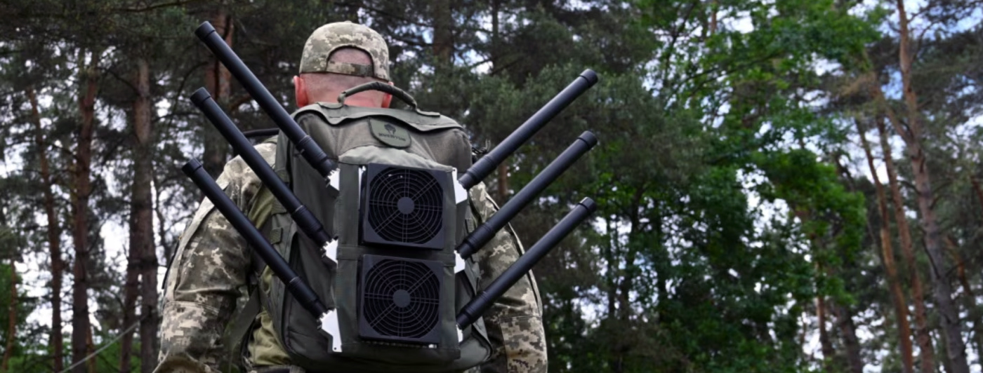
- Radiofrequency (RF) jamming pollutes the same frequency drone operators use with powerful noise signals or rapidly switching frequencies to meddle with more advanced drone models.
- GPS jamming or spoofing: Jammers overwhelm the UAV’s drone receiver, causing it to lose its position data. GPS spoofing is a more advanced technique, used to mislead the onboard systems drone about its location and force it to head elsewhere.
- Broadband jamming aims to overpower the UAV’s communication systems by flooding the airspace with high electromagnetic noise to disrupt the UAV’s control link.
- Narrowband jamming targets specific coms frequencies, used by drone operators to neutralize the communications. Unlike broadband jamming, there are fewer ‘collateral impacts’ on other airspace users.
GPS jamming, in particular, is on the rise, especially in the areas of ongoing military conflicts. But the problems also ‘spill’ to other regions. Since the Russian invasion of Ukraine, GNSS jamming and spoofing have increased substantially across the eastern Mediterranean, Baltic Sea, and Arctic regions, according to the European Union Aviation Safety Agency.
Drone jamming is also on the rise all across the US-Mexican border, where drug traffickers rely on jammers to thwart drones, deployed by the border security forces. Given the ease and low cost of obtaining UAV jamming tools (a device can cost a couple hundred dollars), the question of protection becomes equally important for civilian and military use.
Levels of GPS interference, recorded on March 23, 2024. Source: GPS World
How to Counter UAV Jamming
Various anti-jamming options have emerged to protect the ‘weak link’ in UAV devices—
However, the best protection is removing the underlying vulnerability. GNSS/GPS technology isn’t just susceptible to targeted jamming. Signal also degrades due to natural magnetic interferences—complex geological terrain, high-rise urban structures, and the natural levels of emissions, produced by various equipment. This complicates drone use in mining, telecom, oil and gas, and many other industries.
Internal navigation systems (INS) have emerged as an alternative UAV navigational technology. Advances in AI sensor data fusion make INS as reliable as GPS-only navigation.
Bavovna has developed a low-energy, external navigation system, compatible with most commercial drone models. The devices process data from onboard sensors (accelerometer, gyroscope, compass, etc) and optional external systems (e.g., computer vision camera or LiDAR) with the help of pre-trained AI algorithms to provide reliable navigation in GPS-denied environments. Positioned in an EMI-protected case (which successfully passed EMF tests), Bavovna hybrid INS offers staunch protection against UAV jamming. For extra security, our system can be integrated with SIGINT RF modules.
Boasting a longer range compared to other internal navigation systems for drones, our system maintains a 98% average accuracy rate, even when flying complex trajectories. All thanks to fine-tuned AI models, trained on live vehicle data, which can compensate for individual sensor deficiencies.
Discover how Bavovna is securing drone operations with a hybrid INS system.


