UAVs are no longer just eyes in the sky. They’ve become sophisticated precision weapons and counter-weapons, too.
As the technology has become more accessible, even starter drones can be reconfigured to carry explosives or act as self-destructing strike units with a bit of tinkering. Between 2019 and 2023, drone attacks by violent non-state actors — terrorist groups, insurgents, drug cartels — have more than doubled. The 2024 suspicious drone activity in New York City and across New Jersey has revealed just how vulnerable many urban environments can be to malicious UAVs.
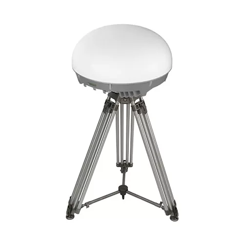
Traditional air defense solutions often fall short, as many UAVs are below their detection range. Plus, many react too slowly and cost too much to deploy at scale. The rapidly emerging alternative is interceptor drones — a low-cost, high-precision, multi-purpose
air defense platform.
What Is an Interceptor Drone?
An interceptor drone is a purpose-built UAV for hostile drone detection, pursuit, and destruction. Unlike regular tactical ISR drones, these platforms are designed for active engagement. Many models include advanced sensing and autonomous navigation capabilities for high-speed maneuvering, automatic target recognition, and precision hovering for threat neutralization.
Key capabilities:
- High-speed pursuit
- Electronic warfare (EW) resistance
- Autonomous targeting
- Precision hovering
- Adaptive flight path correction
- GNSS-denied navigation
- Swarm coordination
- Multi-target engagement
Drone interceptors also come with a great range of payloads — net launchers, electronic jammers, or even kamikaze-style impactors. Many also rely on advanced navigation tech like AI-powered inertial navigation systems to safely cruise through contested, GNSS-denied zones.
Examples of Inceptor Drones
Ukraine has become a hotbed of interceptor drone innovation. To strengthen the country’s defences against Russian offenders, the local MilTech sector has been working on a host of new solutions.
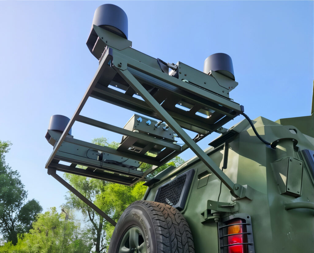
Ukrainian startup VARTA has recently unveiled the DroneHunter — a platform mounted with dual 12-gauge barrels and electronically triggered anti-drone rounds. It can neutralize aerial targets within a 5–20 meter range. Lightweight and easy to integrate, it requires only software calibration and basic hardware alignment.
Another Ukrainian-made solution, the Chief-1 Drone, is optimized for aerial dogfights. Its twin-barrel buckshot system, automatic target recognition, and manual or automatic fire modes make it effective against enemy FPV drones, bombers, and artillery spotters.
On the international front, Germany’s Alpine Eagle Sentinel system uses AI and edge computing to coordinate airborne sensors and interceptors. A single operator can control a swarm that detects, tracks, and disables rogue UAVs from a safe distance. The system is purpose-built for contested environments and loitering munitions.
From the U.S., DroneHunter F700 represents a different approach to drone interception. This AI-powered UAV uses net-based capture instead of destruction. Its onboard radar locks onto targets and autonomously adjusts for speed and direction. Afterwards, the UAV can intercept drones ranging from quadcopters to high-speed fixed-wing aircraft, with a human operator able to step in at any point.
How Interceptor Drones Enable Air-Tight Defense
Interceptor drones are changing the economics and agility of air defense. Unlike costly missile systems or slow-to-deploy ground-based radars, they offer real-time response at a fraction of the cost, and can adapt to new threats on the fly.
Here’s what makes interceptor drones a game-changer for aerial defense:
- Cost-efficiency. One interceptor drone can take down multiple threats without expending million-dollar munitions. And expendable “kamikadze” models are relatively cheap to produce — about $300 to $2,000, depending on the configurations.
- Low-SWAP architecture. Compact and energy-efficient, long-wing interceptor drones can carry advanced payloads or run autonomous missions thanks to onboard edge processing units like Bavovna’s AI navigation kit.
- Real-time responsiveness. The more advanced, AI-powered models can assess and distinguish between different types of threats mid-flight and adjust targeting strategies without much delay.
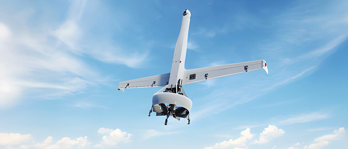
- Deployment flexibility. Many interception systems can be configured for deployment on FPV quadcopters or fixed-wing long-range drones. This enables a broader range of operational scenarios — from border patrols to base protection or event monitoring.
Together, these capabilities enable fast, flexible, and scalable aerial defense — ideal for today’s asymmetric threat landscape.
The Next Stage — Autonomous Interception
The future of air defense won’t be built on brute force, but on intelligent autonomy. As UAV threats become faster, smaller, and harder to predict, the next generation of interceptor drones must out-think as well as out-fly their targets. This shift is already underway.
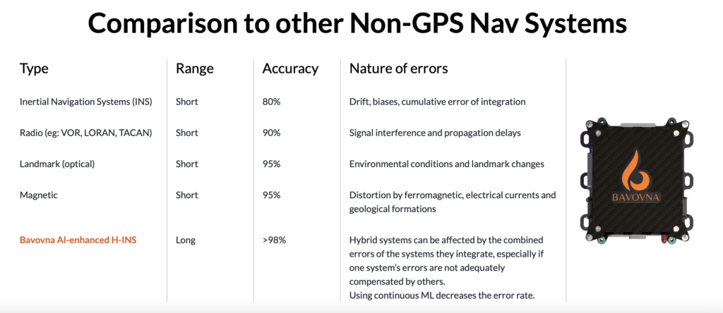
Bavovna’s AI Hybrid INS enables precise cruising and interception without relying on GPS. When powered by pre-trained algorithms, interception drones can operate in signal-jammed, low-visibility, or high-stress environments without a hitch.
When autonomous navigation and hovering will be combined with the ability to detect, lock onto, and eliminate rogue drones without external commands, air defences will reach a new turning point. And with further advances in scalable architecture, drone interception systems will be adapted for swarms, mobile deployments, or even civilian event protection.
Undeniably, exciting times are ahead for counter-drone technology as we move from stationary, often reactive, human-led detection and neutralization to autonomous, proactive anti-drone protections.