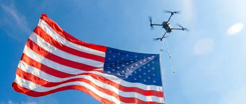
As missions move into denser airspace, harsher environments, and more autonomous operating modes, relying on IMUs and satellite positioning alone exposes real limits for drone pilots. Drift accumulates. GPS becomes unreliable or unavailable. Environmental forces disrupt vehicle behaviour.
An airflow sensor brings an extra layer of situational awareness. Rather than inferring motion indirectly, they capture precise feedback on the drone’s interactions with the atmosphere. And this data enables more stable flight control, safer autonomy, and more predictable platform behaviour even in rough conditions.
Below are six practical air flow sensor use cases that materially improve UAV performance.
1. Precision Hovering in Turbulent or Confined Airspace
Hovering looks trivial until the airframe enters complex airflow — a rotor wash recirculation, building-induced turbulence, ship deck vortices, terrain-driven updrafts, or rapidly shifting crosswinds.
That’s when internal measurement units (IMUs) begin to struggle with processing micro-disturbances, and you have to deal with:
- Unstable hover
- Delayed control response
- Constant stick corrections
- Higher risks of collision
Because airflow sensors detect pressure differentials and directional flow changes in real time, flight controllers can better distinguish between commanded motion and external forces.
This enables tighter altitude hold, reduced lateral drift, and more stable yaw control in confined spaces. So you don’t have to worry as much about crashing your equipment when running close-proximity inspections or ISR missions.
2. Dead Reckoning and Navigation Support
Dead reckoning degrades quickly when inertial drift is left unchecked. And the issue is even more pronounced in multi-rotor VTOLs and UAVs, where traditional Pitot tubes fall short due to the turbulence generated. To boot, dynamic pressure resolution weakens at speeds below
15 m/s, and rotor wash distorts the signals the platform relies on. As a result, contaminated airspeed data generates bias during hover, yaw-heavy manoeuvres, and transition phases.
In simpler terms, when you’re not measuring airflow in forward-velocity flights, wind becomes an unobserved disturbance. The estimator struggles to separate the environmental forces from a commanded motion, and velocity bias creeps in. Over time, those velocity errors compound into a substantial positional divergence.
A multi-vector airflow sensor fixes that issue. By capturing directional flow across multiple axes and correlating it with inertial measurements, the system gains a physical velocity constraint independent of pure acceleration integration. And when fused with IMU and other sensor outputs in the state-estimation loop, airflow vector measurements minimize velocity uncertainty and reduce drift to about 0.5% per flight hour from our experience.
3. GNSS-Denied Navigation
In jammed or spoofed environments, the navigation system loses its strongest external position reference. To compensate, you’ll need to rely on other data from your sensor stack. Airflow velocity is one of the most important ones, as it tells you exactly how the drone interacts with the atmosphere.
Captured parameters, such as wind magnitude and direction, help the platform distinguish between direct commands and atmospheric displacement in real-time. So you get higher accuracy and lower drift in the following scenarios:
- In urban canyons, where GPS drift and visual occlusion make it hard to distinguish lateral drift from wind-induced push.
- During maritime operations, where deck turbulence and moving reference frames confuse vision-only estimation.
- During low-visibility flights in fog, dust, smoke, or darkness, where vision degrades, airflow becomes a primary stabilising signal.
- When doing aggressive manoeuvres or loiter patterns, where inertial data alone cannot separate intentional acceleration from external airflow disturbances.
During recent field tests, we integrated airflow sensor data into Bavovna’s AI navigation kit to test out the precision during a fully GNSS-denied flight. The UAV managed to keep positional accuracy of 99% and a drift of under 0.5% per flight hour, solely relying on a mix of internal sensor inputs.
4. Energy Efficiency and Flight Time Optimization
Small inefficiencies in performance compound over long missions, grounding your vehicle before the mission is done. Drone batteries get easily drained by:
- Flying slightly nose-high into headwinds
- Overcorrecting for gusts
- Operating in suboptimal thrust regimes
Thanks to airflow sensors, a UAV can better detect inefficient airflow states and adjust attitude, throttle, and trajectory accordingly. So you benefit from reduced power draw and smoother control responses, which together extend the platform’s flight time.
If you’re flying long-haul UAV mapping missions or need to carry on persistent border surveillance, these gains can translate into longer on-station time.
5. Swarm and Formation Flights
Formation flights introduce additional aerodynamic coupling between drones. Downwash, wake turbulence, and crossflow from neighbouring vehicles can significantly destabilize the swarm.
Airflow sensing gives each UAV extra local awareness of disturbed air, allowing control algorithms to compensate for inter-vehicle interference. This improves formation stability, reduces collision risk, and supports tighter spacing in cooperative missions.
6. Early Detection of Environmental Hazards
Airflow anomalies often precede visible or inertial indicators of danger. For instance, pressure shifts can signal wind shear or approaching rough weather fronts.
By feeding airflow data into mission logic, your platform can sense hazardous conditions earlier, so you’re not caught by surprise in a thunderstorm. This enables dynamic rerouting, altitude changes, or mission aborts before mission safety margins get compromised.
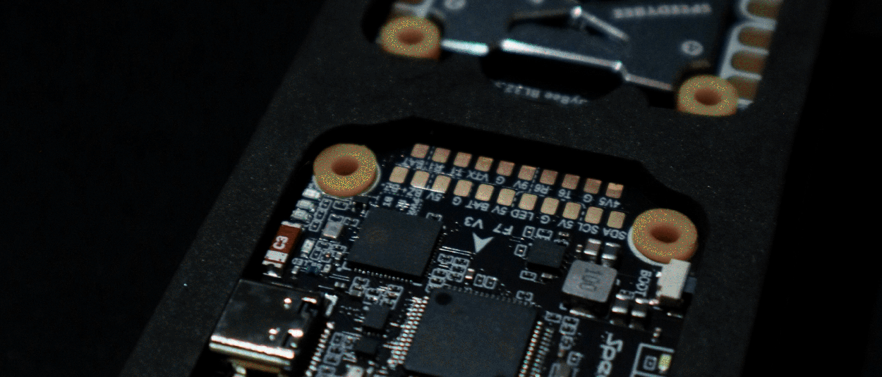
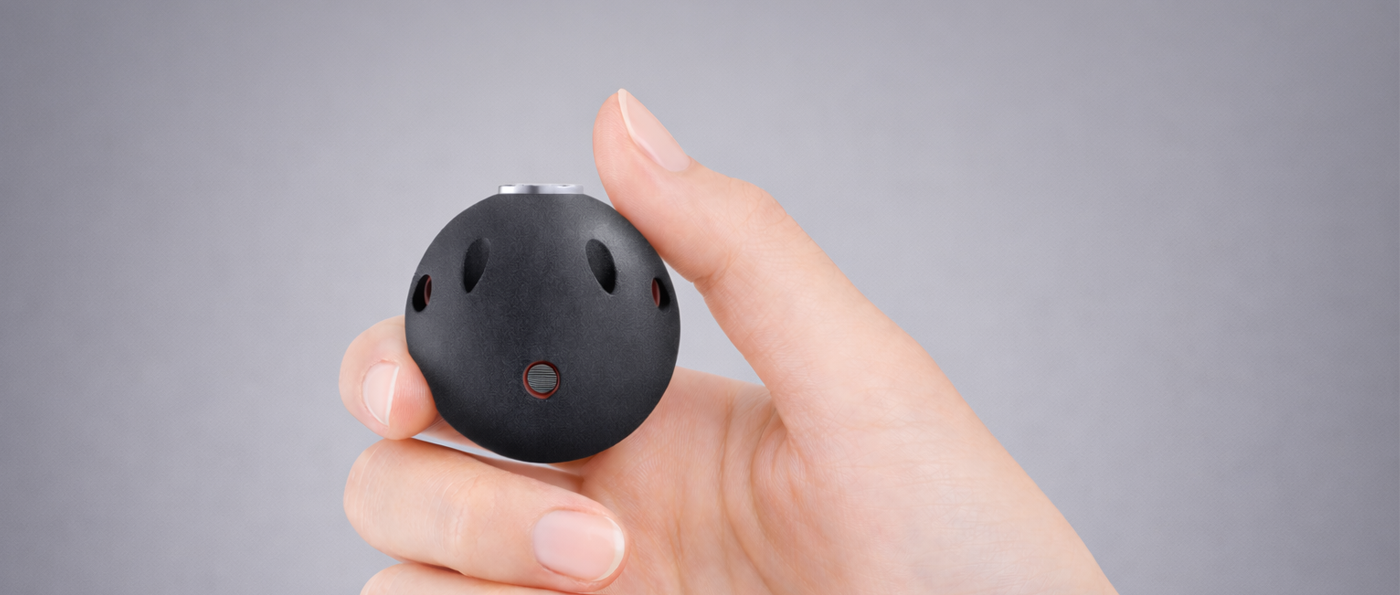
Getting Superior UAV control with Bavovna’s Multivector AirFlow Sensor
For UAV developers, airflow sensing only matters if it delivers reliable control gains without adding integration friction. Bavovna’s Multivector AirFlow Sensor was designed with that reality in mind.
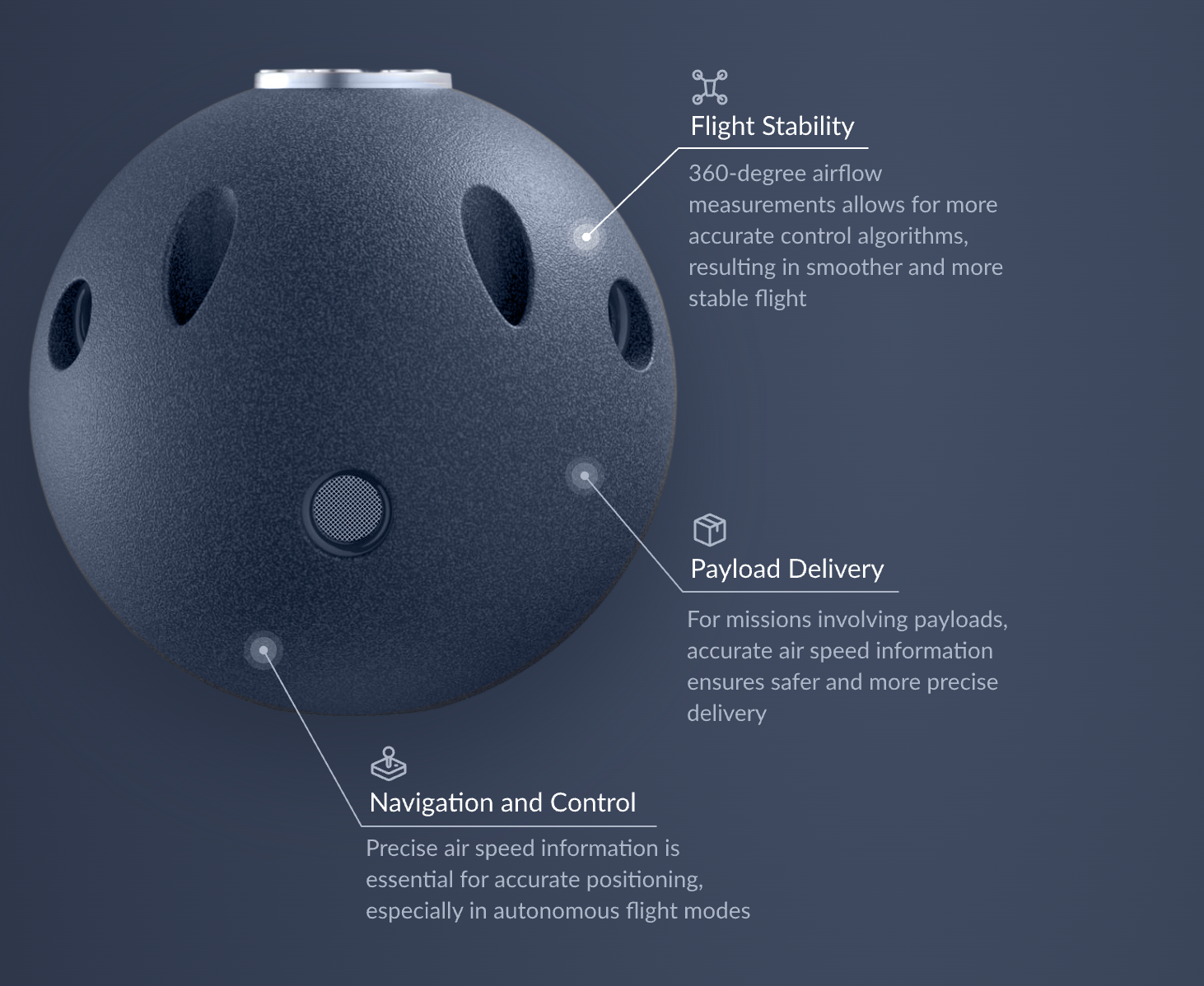
Our sensor was designed to provide a continuous, multi-directional view of how the UAV is interacting with the air, providing flight controllers with a more physically grounded input.
Because airflow is measured across the full envelope, control and navigation systems retain reliable feedback during aggressive manoeuvres, yaw-heavy flight, and VTOL transitions where traditional airspeed sensing often degrades. With preprocessed airflow data, you get:
reduced noise at the source, making sensor fusion more stable and the outputs to control algorithms — more reliable.
Operationally, this translates into longer usable flight time, smoother autonomous behaviour, and greater confidence in GNSS-denied or environmentally complex missions. Check out detailed specifications.